As I have done for more than 15 years I was looking for an adventure to take over my birthday week. The Foothills Trail in South Carolina had come up a few times from various posts on Hammock Forums.
www.hammockforums.net. After investigating the trail by looking at their excellent website
www.foothillstrail.org. I joined the Foothills Trail organization and ordered their map and guide book set. The Foothills Trail is 77 miles long and covers miles in Georgia, North Carolina, and South Carolina. I started from Oconee State Park in South Carolina and finished at Table Rock State Park in South Carolina.
I planned to hike the trail in 5.5 days/5 nights. A word about this length of time on the trail. 5.5 days is a very long time without a resupply. It can be argued that their are longer sections of the PCT or CDT where you will be on the trail for longer without a break, but not many! This means carrying virtually 6 days of food and having no change of cloths or break for 5.5 days.
I arrived on Saturday late afternoon and spent the night at "A Nice Little Motel" a 4 room motel just 1/2 mile from Table Rock State Park
Down the street was Aunt Sue, a restaurant and tourist shops. Dinner was good and let me get back to my room to go over everything one more time.
Before dinner I went to the visitors center of Table Rock State park and got my parking permit and registered for the trail. They have a really nice way to keep track of hikers on the trail a specific place to park your car that is secure in the Park.
"Table Rock"
DAY 1
Oconee State Park to Mile Marker (MM) 14
Sunday morning I parked in the designated spot and got my shuttle ride from Heyward Douglass, the Director of the Foothills Trail. He was super nice to pick me up and give me a tour of the area as he drove me over to Oconee State Park to start the hike. I would hike back to my car at Table Rock.
The first trail sign, just into the woods, lets you know the distance left
The Trail goes steadily upward from Oconee crossing Hwy 107 a couple of times and then settles in following the Chattooga River for rest of my day.
Lick Falls where the Foothills trail meets the Bartram Trail that would take you over to the AT
Chattooga River Views
I set up camp in a well established campsite area along the river.
Day 1 ended with a little more than 14 miles and a lovely yet chilly evening.
DAY 2
Happy Birthday to me
MM 14 to ROUND MOUNTAIN GAP campsite MM 26
Day 2 started out along the Chattooga River again but then turned inland and up to past Kings Creek Falls, which I took the side trail to view ( and almost fall in!) and then up to Burrells Ford Campground.
The sign to the side trail of the Kings Creek Falls and then the Falls below
Burrells Ford Campground has pit toilets and I used them a couple of times while I warmed up. Day 2 was very cold and overcast starting mid- morning.
After leaving Burrells Ford Campground it is all uphill. You travel along the South/North Carolina border up Medlin Mountain.
Very little sun today, but still lots evidence of ice on the trail
Thankfully trail goes downhill from the top of Medlin Mtn through Fish Hatchery Rd and Sloan Bridge Access. It only goes back uphill as you approach Round Mountain
There were several big "blow downs" before Round Mountain that made going difficult.
Round Mountain Campsite just off the main Foothills trail. I had the campsite all to myself again tonight. I finished eating and setting up by 5 pm and it started to rain.
Day 3
Round Mtn Gap campsite MM26 to BearCreek Campsite MM 37.5
The Foothills trail became a bit of a Bermuda Triangle for my electronics. My Spot Messenger died on the first day and so did one of my camera batteries. the spare battery died this morning, leaving me with only my iPhone to take photo's, video and keep in case of emergency.
All the photos from here are from the iPhone.
It had rained all night but by 6 am had stopped and while it was very cold and windy the sun had come out for day 3.
Fortunately it was all still mostly downhill for the start of day 3 all the way to the Thompson River.
The first stop today is Whitewater Falls.
I did spend a considerable amount of time at the Falls parking area as they had facilities with a hand dryer so I could dry out all my shirts and stuff that was wet with sweat as it was a very cold day.
Ahhh! Dry warm air!
Whitewater Falls
Bridge over Whitewater Creek and Whitewater Creek
Bad Creek access bridge and trail sign at that point 44.8 miles to go.
Thompson River Bridge
Thompson River
one more big uphill section today and then down into BearCreek Campsite.
This definitely the coldest night with temperatures in the low 20's maybe even high teens.
DAY 4
Bearcreek Camp MM 37.5 to Laurel Fork Falls Campsite MM54
This was the really long day that was going to be the hardest. 16 miles needed to get done in order to set up a decent 5th day over Sassafras Mountain the highest point on the trail and the highest point in South Carolina, but day 5 was going to have 3000' of elevation gain, so the distance needed to get done. to make matters even more challenging today had what was described as Heartbreak Ridge. 200 wooden steps up in a single section.
Toxaway River Suspension Bridge
Lake Jocassee
Looking up Heartbreak Ridge
Getting closer all the time. 27 miles to go
Laurel Fork Falls and the Falls spill off (below)
the campsite was at the spill off location and had a lovely view.
Day 5
Laurel Fork Falls Campsite MM 54 to John Cantrell Old Homesite MM 67.5
Uphill all day. Today started out clear and cold with some rough sections until I reached Virginia Hawkins Falls Area. The trail got really good and pleasant through the Laurel Valley area. This was a great section to hike. Then it was time to start uphill. At the Laurel Valley Trail Access and then down to cross Hwy 178, after that it all uphill toward Chimmeytops and Sassafras Mountain.
one of the many excellent bridges and bridge work near the Laurel Fork Falls area
The view from the top of Sassafras Mountain
Proof positive I was at the top.
Lovely evening arriving at the old homestead site of John Cantrell. it is about 1 1/4 miles from the top of Sassafras Mountain.
First time there was enough dry wood to make a fire that lasted longer than 30 minutes. I sat by the fire for about 2 hours and a very good Pad Thai dish for dinner.
Only 9 miles to go.
Day 6
John Cantrell home site MM 67.5 to Table Rock State Park. MM 76.3
Its all down hill from here... actually not while the elevation does decrease the the climb to the top of Pinnacle Mountain was no cake walk and actually Pinnacle Mountain provided the best panorama views of the entire trail, but it was only 9 miles back to the car and it went by quickly. I covered the distance in just 3 hours.
A view looking into Table Rock State Park from the Foothills Trail
A view out on the valley from Table Rock State Park
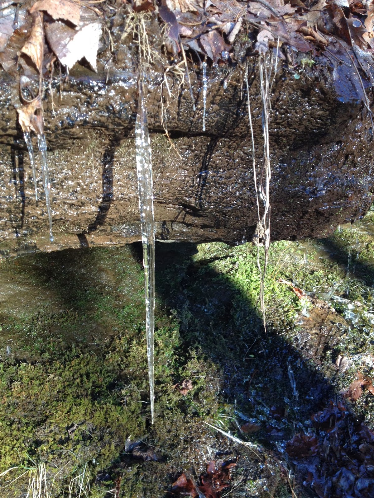
lots of water in the park and most of it still frozen in places
no more miles to walk- arriving at Table Rock State Park parking lot
Post hike calories at Aunt Sue's - Rootbeer Float to celebrate and real food.
Spent Friday night in Asheville, NC and went to dinner at Wicked Weed
Stats and other recommendations:
Foothills Trail 76.3 miles
38 hours of hiking time= 2 miles per hour.
highest temperature 57 degrees, low temperature 15 degrees.
calories consumed 8400
calories used 30,800
pounds lost= 6
Recommended:
A Nice Little Motel- (Billy) Pickens, SC
Aunt Sue's, Pickens, SC
Wicked Weed, Asheville, NC
Special Thanks to Heyward Douglass of the Foothills Trail for the shuttle and great tour.
Watch for the Video