This was going to be the end of my LKT (longest known time) for a Thru Hike. I had originally hiked the Ozark Trail in 1999. At that time the trail ended at Hwy 60, there was nothing south of that point and a few sections were not the same as they are today (Peck's Ranch, etc.) However in the intervening years I have hiked every section multiple times, but I have never gotten around to the Eleven Point or the Between The Rivers sections. Jeremy and I did knock of the North Fork section a few months ago.
We were starting the hike on Tuesday Oct 3rd and planned to take about 3.5 days. I had thought that the first of October would be a bit cooler weather, but we have been unseasonably warm and dry. Temperatures for this week, in southern Missouri, were to be 88-89F and very high humidity, 90-100%
Jeremy has some property near Cabool and we again staged here the night before and then it was only about an hour drive to the Hwy 60 Trail head, where we would leave a car and get shuttled to our starting point of the Western Terminus of the Ozark Trail on the Eleven Point Section.
Jeremy's property is great and he is clearing it slowly but surely for a house
We always take advantage of the fact that he has a grill, so a big pre-hike dinner is always in order! Enjoying the evening
All the trees are pretty close together, so I hung my hammock across the drive and hoped that a big deer would not use it during the night as a path. Jeremy had this crazy tree tent from a friend and had it strung up
nice evening In the morning we were up early. Just down the road there is the Garden Inn Truck Stop. It has a really nice restaurant and we stopped in to get a breakfast sandwich for the road.
I arranged a shuttle with Terry of the Ozark Trail Association for 8:30 am. It was just an hour to the trailhead for us and we arrived just before Terry.
Terry was great and we chatted all the way to the trailhead, which took about 40 minutes
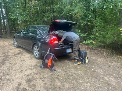
Terry dropping us off and taking a picture in case we are never seen again! 😂
Ready to go. We hit the trail around 9:40 am
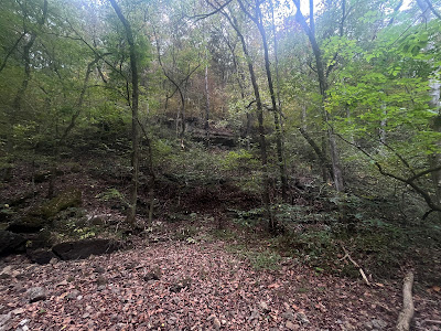
Terry filled us in on trail conditions, but starting out this is not what we expected. This is going to be much slower section than I imagined.
This was a real chore.
On top of the overgrowth, or because of it, every 100 yards we had to stop and brush off the "millions" of seed ticks we picked up in the weeds.
The last person to try and hike this section
The first creek crossing was bone dry.
Plus in the first 6 miles a couple of downed trees blocking the trail
Tree #1
Tree #2
After about 6 mile we did get a few views
Southern Missouri- cactus ?
You pick up an old jeep road at about the 7 mile mark and follow it till you reach Bockman Spring. (9.7 mm) This is the only water from the Western Terminus. This was also at bit of a reprieve from walking in the waist high grasses. The old Jeep road looks to be used a lot as it had more trash than we could pack out. Arriving at the spring was a welcome rest as it had been a very slow 10 miles and in very hot and humid conditions and we both had not drunk enough water and were out by this point. We stayed here for lunch and a rest. We got to the Spring around 12:30 pm

The water was flowing from the spring and it was cold and nice. I drank about a liter and a half while sitting here.
Today had not gone as well as we had planned. Nothing major just slower because of the trail conditions and heat. The heat and humidity had gotten to me before the Spring and I could feel my core temperature rise as I stopped sweating about an hour before the Spring. I carried three liters of water away from the Spring for a dry camp later on. I missed the turn off for the trail about quarter of a mile from the Spring so that cost us about a mile total before I realized it. When we got back to the intersection we realized that the trail was almost impossible to see, so after about a mile or so we decided to climb up an unmarked old logging road as high as we could and camp where there might be breeze.
This turned out to be a good idea, the pitches were not ideal even for hammocks as it was still pretty dense even on the top of the hill, but the breeze was great, there were very few bugs and we got the evening light for long time. We finally caught a break for the day. 

This had been a tough day overall but it all seemed to be sorted out and tomorrow promised to be a much better day. Until around 2 am. Jeremy woke me as he was having an allergic reaction to something he encountered today. He is aware of his allergies and carries an Epi pen in case of a severe reaction and this one was pretty bad. He was coughing from having some problems breathing and his face was quite swollen. I am glad he woke me as I am sure it was quite scary to be experiencing that alone. I asked if he felt he needed the Epi shot as any breathing issues are serious. He said he had already taken a couple of Zyrtec. Zyrtec is not as fast acting as Benadryl, which I had, so I gave him a couple and that seemed to calm and improve his breathing pretty quickly, so he felt the shot was not needed and that he might be alright for the night, but mentioned that if it was pollen or mold he would not be able to continue. He didn't even have to mention it, once you have an episode like that, any continuing on in the same conditions would just be unwise and I was already thinking about the best exit strategy.
This is a bit of an exaggeration, but only slightly.
In the morning Jeremy's face had returned to normal looking, but he said he still felt swollen. I carry a Garmin InReach and since we had climbed much higher off the actual trail, I had some cell signal. I tried Terry, who had shuttled us to the trail, but I also copied Andi, the admin for the OTSHAB Facebook group, as she know everyone, and asked about possible people, in the area, that might be able to shuttle us.
PSA- It is always a good idea to carry multiple ways to communicate, know where you are and be able to see and plan in the surrounding areas. I carry my InReach, it is for emergencies and I could have used it last night, if the Epi Pen would have been used. I also use it to communicate when I don't have cell reception (more on that later*) but like most people these days, I do most of my navigation on an app. While this works it is not the best for searching larger areas around the trail, when you might need exists or to see where roads actually lead too. I always carry map and compass and in the case the Ozark trail maps provide a good view of the area around the trail and let me see our best options for the quickest and easiest way for us and anyone that might help to rendezvous with us.
For us the closest was McCormick Lake or a bit further, but much more developed, Greer Springs Campground.
I was able to communicate with Andi via Garmin and text and let her know the situation and where we were headed and how long it would take to arrive at each location, should she be able to find anyone able to assist. I knew that at Greer Spring Campground I would be able find more people accessing the Eleven Point River and would be able to secure a ride or communicate on my own to arrange one from there. We left camp around 7:30 am, knowing we would reach McCormick lake by 11am, even with a slightly slower pace if we needed it.
pretty flowers leaving night one camp.
*What I didn't count on, was that the Garmin InReach would not be able to send or receive any signal for a good portion of the morning. This is a caveat that all these devices have and is stated on their documentation, but I have never had a location with the Garmin that a message did not send or I did not receive in about 10-15 minutes. This portion of the Eleven Point trail was down low in hollows and the tree cover was dense and there was rain predicted, so the cloud cover was also dense. I actually got cell service a few times before I regained InReach service, even though my phone continued to track our location, via GPS, accurately the entire time
The trail did not get substantially better for most of Day 2
And always needing to stop and brush off the seed ticks. Thank goodness for Permethrin.
Following the trail was not as hard as finding the trail sometimes. At about 5 miles, when we rose above 1200' in elevation I got inReach service back and got a slew of messages from Andi. She had been able to contact Dave, one of the OTSHAB group members that was local, and he was going to pick us up at McCormick lake. It had been about 2 hours without any ability to communicate. Despite the slow going we did make it to McCormick lake just before 11. This was helped by the last mile and half being on a good gravel access road. Dave had just pulling up, perfect timing.
Dave shuttled us back to Jeremy's car safe and sound. A bummer, but sometimes the unexpected happens and you have to deal with it.
My (LKT) longest known time will continue to be longer and perhaps I will get back to start at McCormick Lake to finish this section. The important thing is Jeremy is feeling much better getting away from what ever had triggered his reaction and I am reminded not to do any hiking in Missouri till after the first frost! 😂
We finished the hike before the rain arrived, but the cows don't seem to mind.
DAY 1
Day 2
Sorry, no map and elevation for Day 2
A special thank you to Terry for shuttling us at the beginning and a really special thank you to Andi and Dave for being unexpected but stellar support.


