Pickle Springs Nature Area to Hawn State Park - Cross Country Walk

I actually have never been to Pickle Springs Nature Area before but I have been to Hawn State Park dozens and dozens of times. I have wondered if it is possible to walk from Pickle Springs to Hawn as they both look connected on a large map of the area. I have heard of a few people that have (tried it, or done it) but I could not find any real resources. Honestly rightly so, if you are planning a cross country trek then part of being ready to do something like that is to be able to dig up the resources and research to accomplish it. You need to have the skills to navigate with a compass or a good understanding of your GPS, if that is your choice, understanding of the lay of the land and recognize contours from map to landscape. In a more densely populated areas you also need to make sure you do not trespass on private property.  Cross Country (bushwacking) is travel where there are no trails, if you are hurt or injured it could be a very big ordeal to get yourself out or get help into you. I did carry a Garmin inReach mini with me, as I do on most walks. 
I did find some very helpful resources concerning the later. Adam Evans on the Missouri Trail Hikers and Backpackers Facebook page recommended a website called ONXmaps.com, this is a hunting app that shows on a topo map view all the private property in the US. You can choose Missouri and navigate to the Pickle Springs/Hawn area and view all the bordering private lands. This app is used by hunters to show access and also to contact private land owners for hunting permission and it is very useful. You can load GPX files to it and also print the maps. A seven day trial subscription is no charge. My friend Joe was available and decided to go with me.

The plan was to hike the Pickle Spring loop till just before the double bridge on the back side of the loop and then head cross country from there.


As I mentioned this was my first time to the Pickle Spring area. It is funny how you can just miss one spot for so long

I can see why everyone raves about the little trail through these unique rock formations


We headed out from the trail and started toward the Hawn boundary. A really nice gall in a tree along the way.

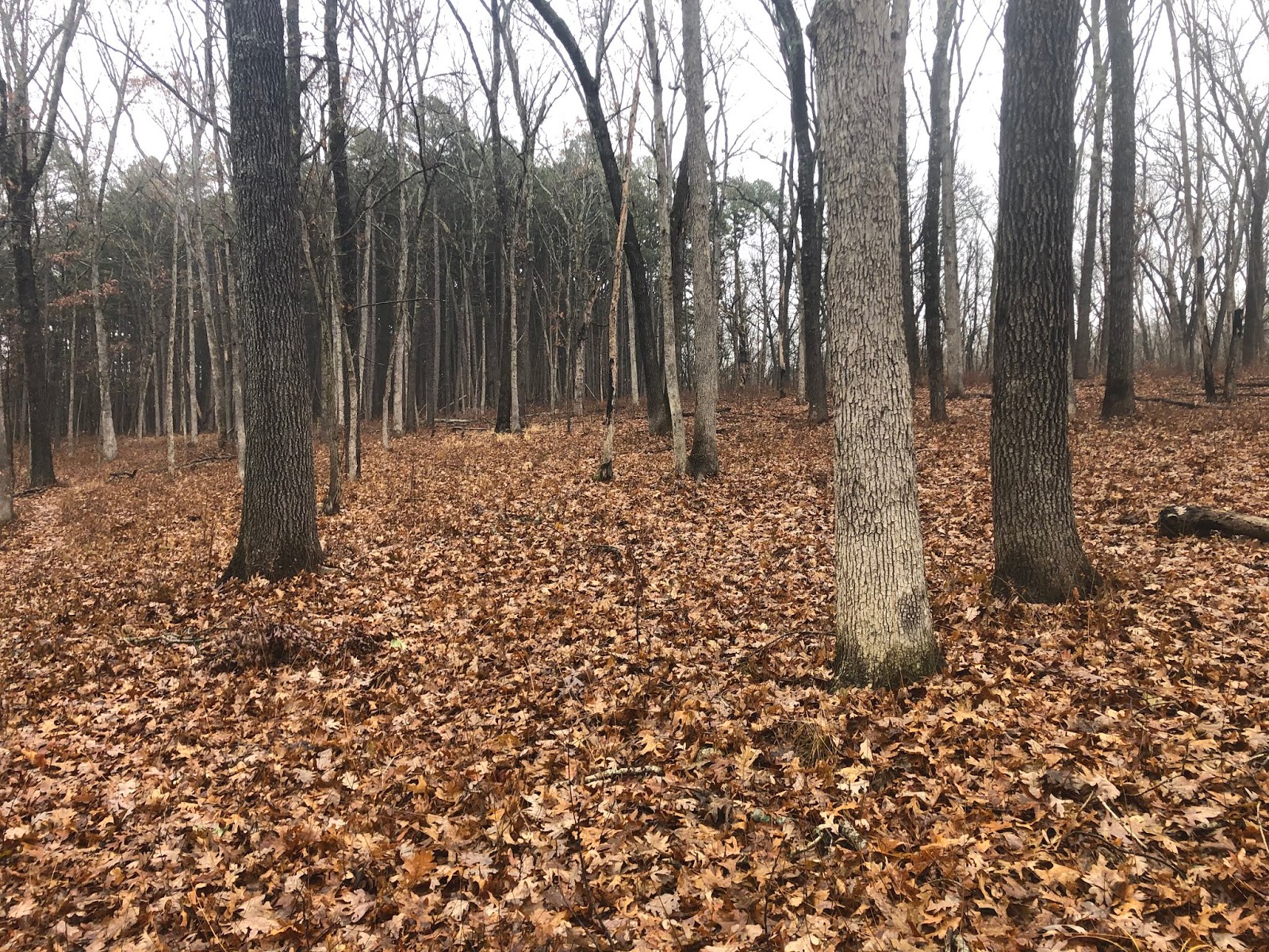
There were lots of deer trails and they alway pick the path of least resistance and are great if you can spot them. Winter is the perfect time for this as the underbrush would be too heavy between spring and fall. 


 We bounced up against a private property boundary going out. I had been advised that a few of the land owners surrounding the parks are "sensitive" to any trespassing, and in this case their boundaries where marked with the appropropriate purple paint on their trees. We made sure not to cross and made a note to stay a bit lower on our return leg. The 800' contour is a great marker for the western boundary with the park. Stay on the eastern side of the 800' contour line and you have no problems.

One of the things I was hoping for and we got in spades was unique rock and water features that are simply hidden by being deep in the middle of the trailess woods. Following natural drainages and contour lines brought us to many beautiful formations 


Relatively fresh small deer carcass. Still with the spine attached and the spinal cord still soft. 


Another large hidden gem, a rock amphitheater


After making your way in the continuous woods you cross over Hawn Park Rd (the only private property in the park proper is a small bit of land on Hawn Park Rd where Pickle Creek also crosses the road.) There is no structures on the property but it is marked as private, so we avoided it by staying well to the East of that area. Another .3 miles later we intersected the White Oak Trail in Hawn State Park. 

This was our destination. The high point on the White Oak trail and a trail marker as proof we walked between the two parks. 

 We had lunch on the rocks in what was continuing to be a beautiful day for walking. 


We started back after about 30 minutes of lunch and decided not to go back exactly the same way, although there is not a lot of wiggle room, we did find an old abandoned logging road along Hawn Park Rd and started back that way.

We even found a very old picnic table along the road. 
Eventually we joined up with our existing track, right before the powerlines, but before that we did, we discovered a large flagged section, as if new trail was going to be built. There was even a considerable amount of freshly cut trees in the area. 
(notice the blue flagging tape) 

On our way back we did find a trig point at the park boundary. 

It was surrounded on all sides by Witness Trees. I have seen this before in the Taum Sauk area near Proffit Mountain when we explored the top of Proffit to camp for the night 


 On the way back, it is the first time I have seen prickly pear in Missouri. There were many patches of the cactus in the area we found 

Very close to getting back to Pickle Springs we found another giant rock feature just at the head of a small stream 


 Back on the trail in Pickle Springs and headed around the rest of the loop.


Overlook at Pickle Springs Loop.


Our moving time was only 4 1/2 hours so we made good time through the woods stopping often to check our bearings. 


It was a great day for this hike and I really enjoyed going deeper into the woods and discovering some beautiful scenery that is only seen by a few who explore deeper into the woods. 


Overnight backpacking at Meramec State Park Nov 23-24 2019

The three amigos have not hit the trail in a while and all of us were feeling it was past due for some trail time. We decided what was needed was some rather adult camping where we could take a few luxuries for an overnight trip. About an hour from each of our homes is Meramec State Park, a lovely park with both trails, a cave, and RV camping along the Meramec River. It has many trails the longest being the Wilderness Trail loop at about 10 miles total. We would hike in about 4.6 miles to a primitive campsite and then walk the remaining 5.4 out the next day. The temperatures for Saturday and Saturday night called for cold temps down near freezing and maybe some rain or light snow, but Sunday was expected to be clear and much warmer. 

Saturday
We started off around 8:30am


This was not a gram weenie trip. We set up to bring as many luxuries as we needed plus the promise of some pretty cold temperatures meant we got the winter packs out to stuff. Cory brought a skillet which turned out to be mighty handy. 
Cory has his Hyperlite Mountain Gear 3400


Joe with his ZPacks ArcBlast

I used the Gossamer Gear Mariposa as I brought a chair!, a saw and knife for firewood building, my zero degree quilts, a couple of beers, all my food was in tupperware and some Bailey's Irish Creme for my coffee. :-)
btw- I am sure I was over 30 pounds and this pack was great, It didn't feel like I was carrying any weight. 


The day was gloomy and cold, it had rained the night before and the trail was wet.

At one point it even snowed just a bit

We made it to camp, in just a couple of hours and set up our hammocks and tarps just as the sun tried to peek out for a few minutes. 

There might have been some napping and then some lunch of hard salami, cheese and crackers. Then, however, we set about cleaning up the underbrush and cutting up downed dry wood for a fire. Cutting firewood warms you twice; cutting it and then using it.

 We collected enough to have a fire both tonight and in the morning 

We have made fire! 

Cory was first to start making dinner. He had also brought a handy grille to cook over the fire.
This might have turned into "Glamping"

The sun started to set behind the trees and made for a nice evening. The clouds were moving off and it would be a clear and very cold night

Cory's double cheeseburger done! it was HUGE

Joe made great looking brats on the grille over the open fire, but not to be outdone in anyway, I brought fillet mignon and a baked potato. I started the potato in the fire about 30 minutes early just setting it on the hot coals and then I used Cory's pan to put a nice sear on my steak, it took a bit but both turned out delicious. 


Twice baked potato with sour cream, and butter and the medium rare steak


We didn't stay as long around the fire as we might have as the wind and cold led us to jump in the warm hammocks around 8:30 pm.

Sunday
The morning dawned with blue skies and warmer temperatures 
My view in the morning from the hammock

The sky was blue and the day looked like it was going to be lovely. Where we had camped there was a layer of heavy frost on everything, especially my tarp, which was frozen solid with condensation

Cory continued his culinary masterclass and had an egg, sausage bagel sandwich for breakfast. 


After breakfast we packed up so no one could tell we were ever there, except for the huge pile of firewood we are gifting to the next campers, they will be thrilled that it will be all stacked and ready for them when they arrive! 

Chilly morning and using some orange on the last weekend of rifle season. Not a worry in a State park but you never know....

 We had chosen our campsite to be last in the string of campsites but also because it is directly next to small natural spring. A few minutes down the trail is a cave with a much larger spring that which always has a great display of green all year round 


The spring water was much warmer than the air this morning, so the mist rose off the creek water.

Winter ferns along the trail 

We knew we would see "frost flowers" this morning and we were not disappointed as they were everywhere along the shaded sections of the trail 


A view of the Meramec River as you crest a ridge

Once we got on the southern side of the park it warmed up quickly and was a great day for walking 

Some of the tall grass on the south eastern side of the park 


It was a great day to be out


Open grasses to pine forest, Meramec State Park is just one of many beautiful and diverse parks in Missouri 

Another great view into the forest as we finish up the short walk back to the cars and then off to Cory's for pizza and beer. 


The Largest of the loops (in brown) is the Wilderness Trail on the map below


Support Our National Parks - Preserve - Protect - Enjoy