Where can I go to get some elevation training? In Missouri we top out at 1772 feet (540 m) and that is Taum Sauk Mountain, which has no views. The highest point with the best view is Bell Mountain at 1702 feet (518 m) and fantastic view. I also needed some mileage, the standard approach is just 5 miles, with some elevation gain to be sure, but not long enough. Plus, the standard Bell Mountain parking area has had some vehicles vandalized in the last few months.
I will start over at Johnson Shut Ins and the Goggins Mountain Parking area. This will make my trip either 13ish miles or 17ish miles depending on which side of Goggins Mountain trail I do. I can do one side going out on Friday and the other coming back on Saturday.
This is the most elevation gain and loss I can get in Missouri over that distance and probably the toughest terrain as well being all "baby skull" size granite composing most of the trail in this area.
Parking at the more secure Goggins Mountain Parking area, right outside Johnson Shut In's State Park Campground
What you might see on the trail
Where is my glove?
80% chance of snow flurries today (Friday) and a high of only 37 degrees (3 Celsius)
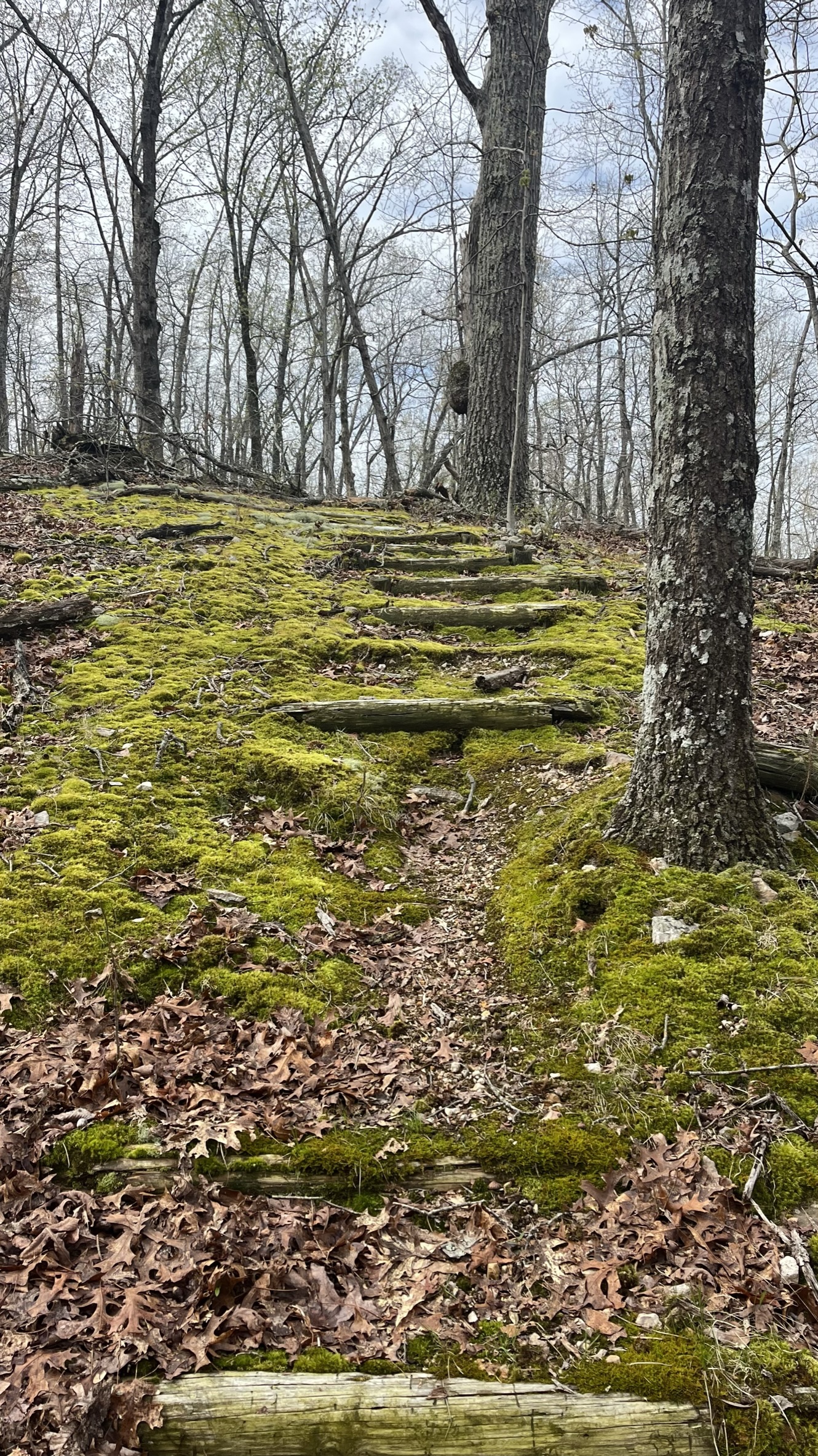
My kind of red carpet.
I took the short side and arrived at the Ozark Trail spur after 3 miles and just 40 minutes The ubiquitous photo from the Goggins/Ozark Trail connector overlook
It is cold and windy and the flurries are flying
But right at your feet, Spring is trying so hardJust a half mile to the North this spring is reliable most of the year and runs right across the trail and into a series of cascades and waterfalls.
For the next 3 miles you walk a series of ridges and hollows on the way to Padfield Branch spring. This is the elevation training, up and down and up and down over super rocky terrain. Reaching Padfield spring and the old homestead. The barn just keeps getting lower and lower to the ground.
Unfortunately, there looks like a few people that don't appreciate the natural beauty and leave a mess. I never understand how you can just come out here to party and leave all your trash behind.
Crossing Padfield Creek can sometimes be an issue, but not today. Didn't even get my feet wet.
It is a bit of a brutal climb up from Padfield to the next bald and a view. 850 feet at Padfield Spring to 1480 feet at this point, all pretty straight up, with some wicked ankle turning granite rocks.
Easy trail to follow when it is like this!
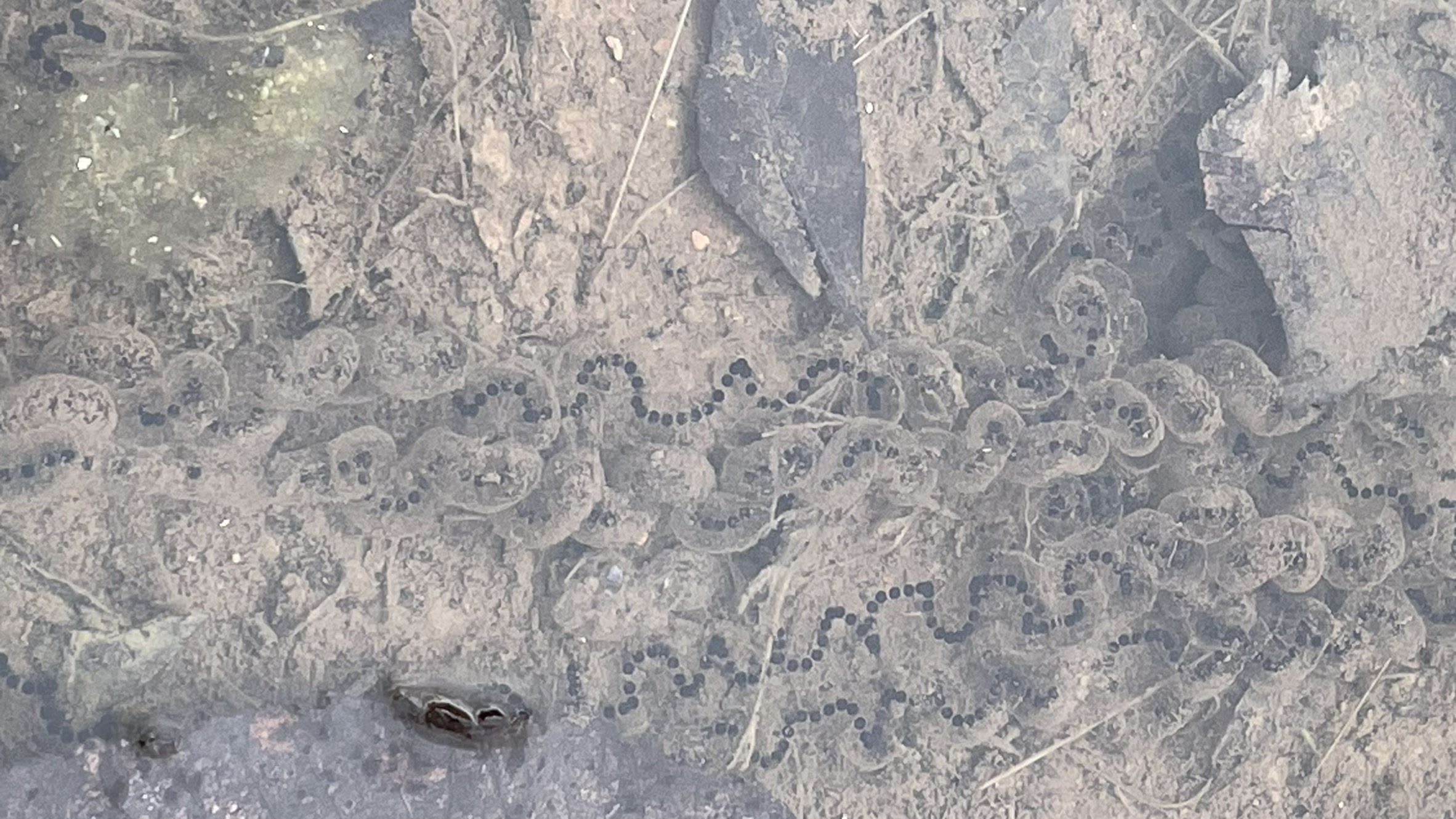
In just a small puddle of water in the rocks, Long strands of frog and toad eggs. I hope the water lasts long enough for them to hatch.
The eggs are just in the depression between the rocks on this bald
Turned around to read the sign, about what to expect, as you enter the Mark Twain National Forest. After four miles of more ups and downs from Padfield creek you come to the connector for the Bell Mountain Loop.
Apple blossoms
Straight off the top of Bell Mountain on a cold and blustery day
A little to the rightSet up my tent and then a bit of a hot drink and let my dinner rehydrate.
A very excellent Parmesan Pesto Pasta with Pine Nuts. I dehydrated the noodles at home, so all they needed to do was plump back up and they are ready. A great dish hot or cold.
I carried a can of Piney River Lizzie Twister all the way today, so it was a nice treat at dinner
One of my favorite breweries https://pineyriverbrewing.com/
An ok sleep, I am still sorting out a pillow for sleeping on the ground and the tent is never flat!
The weather was some hail and snow overnight, but by morning it had completely cleared
I had to get up for the sunrise. It is one of the big reasons to come up to Bell Mountain
The morning just kept getting better and better
Shaking off some of the ice that formed on the tent last night. despite the beautiful sky, it is still 37 degrees this morning.
I pitched just off the rim back in the a few trees and it was a nice spot, just not very level.The morning just keeps getting better and better. It did eventually get to 56 degrees by afternoon
My view out the tent through the trees and beyond
My camp spot, you would never know I was there. Actually for the amount of traffic that Bell has received these last couple years, it was really clean. The area has been picked clean of downed firewood and there are lot more social paths on the top, but it was in really good shape. Thank you to all the people that are conscientious and clean up after themselves while camping
I was up and away at exactly 8 am
Back to the junction and the roller coaster up to the highest bald on the way back to Padfield Branch Creek. A much brighter day!
Padfield Branch Creek, a little more water this morning, but still didn't get my feet wet. Oh, that climb out of Padfield in brutal!
Oh, that climb out of Padfield in brutal! I almost ended up like this guy. I think fox or coyote but I am not sure on my mammal skull identification 🦊🐺
Back to the Goggins Mountain, Ozark Trail, connector. Took a rest here. I could now go around Goggins Mountain loop the opposite way and have 7 miles back to the car, or I could go down the way I came up (3 miles) and go have a burger and a beer? which to choose. Well I texted Vicky and asked her, and she said Burger and Beer, so I did what I was told! Headed straight downhill and back to the truck
Over to Ironton to the Iron Mule for a BBQ cheeseburger on garlic bun with onions, tomato, and a side of onion rings!
Yum
Vicky made the right choice. Ironton really has quit a few good places to eat, The Iron Mule, The BBQ joint Bailey Jo's, and the Ft Davidson Cafe
Track from Goggins Mountain trail parking to Bell on Friday, with waypoints to help with photos.
Track coming back from Bell on Saturday
About 26 miles total. pretty happy with it, a few things to adjust and check and a few more outings before Scotland