Today was a lovely spring day. After a good nights sleep at the Ballater Caravan Park, Vicky was feeling tired and her knee wasn't great but it was still ok to walk. I knew today was going to be another longish day for her, so I tried to figure out how to make it the easiest possible. We were going to take the Deeside Way until Aboyne and then take a B-Road (B976) southeast to a similar Caravan site (RV Park). We had been told by John Manning that the East Coast of Scotland was not the same in terms of Rite of Way and the ability to camp anywhere, so we needed to make sure we were not on private property.


There were not many people out for a Tuesday morning,but there was a walking festival going on and we saw walkers with smaller packs doing shorter trips today.

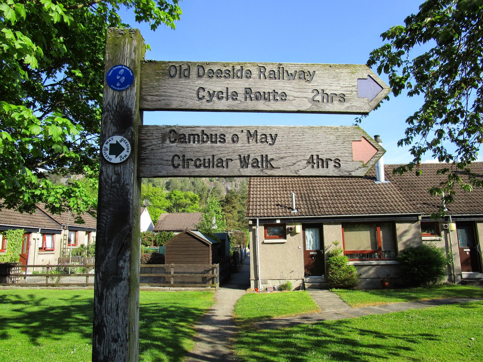
The Deeside Way starts behind the railway museum in the middle of town and once we found it, with a little help from a very friendly local lady walking her dog, we were on our way for the day.


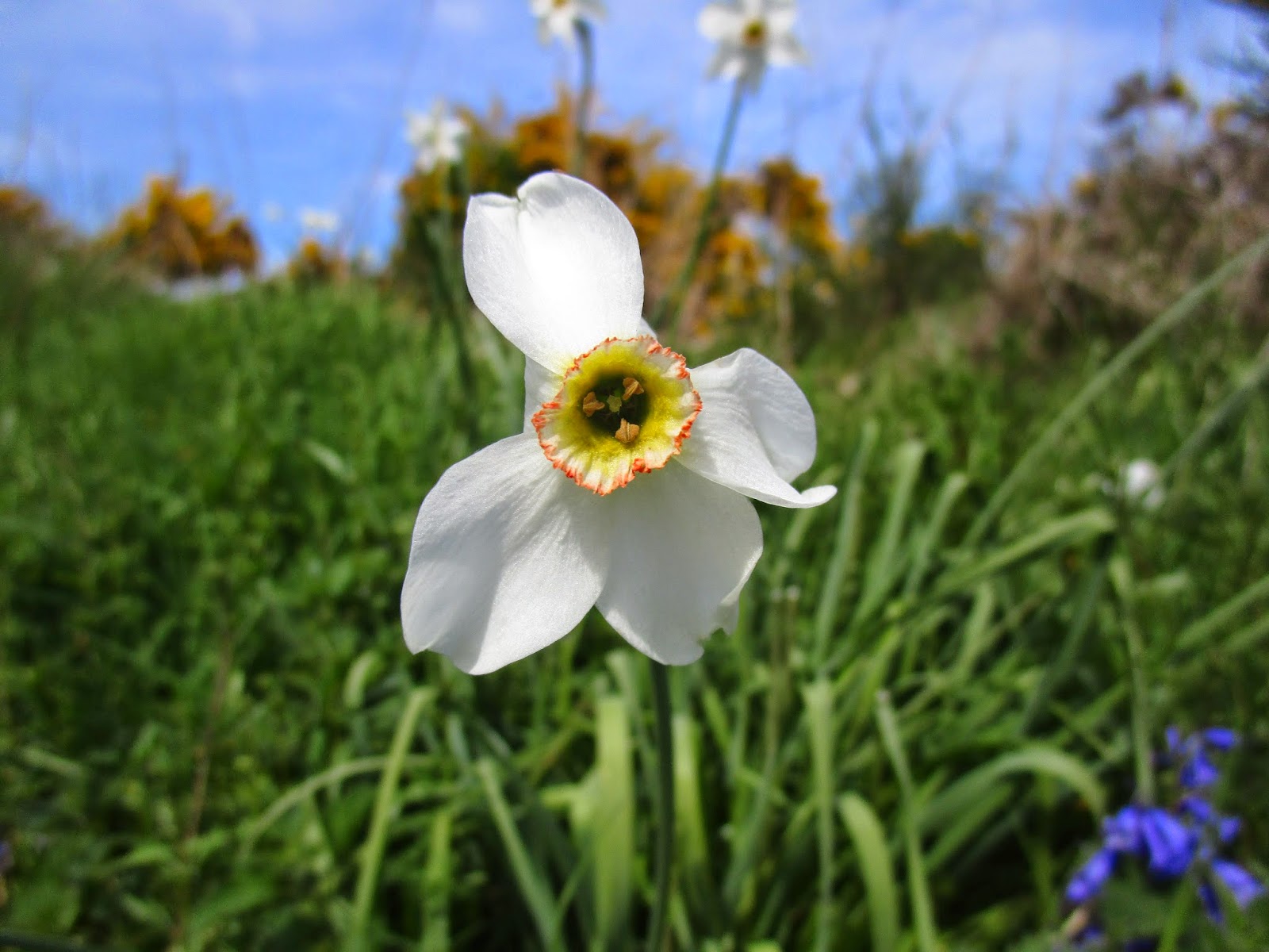
Spring was everywhere today. This was a lovely walking path with nothing to do but enjoy the weather and the many flowers that were out all along the trail.


The Way passes the ancient site of Ballater with a church and old grave site.


the path was lined with Broom/Gorse all day. This seems to be the defining Spring flower in Scotland.


When we reached Aboyne I made a decison that was propobly not the best for the second half of the day.
We had planned to go through the Fetteresso Forest and finish in Stonehaven and in order to do that and make it the shortest and flattest distance possible for Vicky that meant walking on more B-Roads. In this case B976 out of Aboyne. I was shooting for a camping spot around 11 miles away, but Vicky wouldn't make it that far and we ended up at a camping spot 7 miles away, which is the same spot we would have come too had we stayed on the Deeside Way.


The B-Road on the East side of Scotland were more used than the West Coast, but it was not a bad walk, except on pavement. We did pass many cottages some with great gardens and displays of flowers.


We made the right decision for this stopping point. This was very nice city park in Potarch. Potarch lies right next to the River Dee, were I got our water for the night. There had once been a hotel and restaurant here but it is now closed, but the Park was large and the grass was soft. When we arrived we had the entire park to ourselves.

Our Mountain Laurel Design Cuben Duomid worked really well for us on this trip. Had it been raining consistently I am not sure it would have provided both of us with enough room to sort things out in the rain, but it was good with the weather we had.

We ate early and were in bed very early. It was a very tiring day for Vicky and she needed the sleep. She had done another great job covering the distance we needed with her knee with no complaints at all.

We chatted with several local ladies that walked their dogs in the park during the afternoon.Three other Challengers showed up after we did including Ken and Nina that we had leap frogged with all day on the Deeside Way. This is how I found out that the Deeside Way would have brought us all the way to the same point. Nina played her flute in the evening and it was lovely to listen to her play laying in the tent.
Day 12
17.4 miles in 8 hours
104 miles walked out of possible 160 originally planned.
Elevation profile Day 12

We're still enjoying every minute of this narrative. You do a great job and the pictures have been unbelievable!!
ReplyDelete