Superior Hiking Trail- Day 3- Monday July 12

Day 3 started out bright and sunny and was a wonderful section to hike I had the whole campsite to myself and didn't get out of camp until 8 am. There were some elevation changes but they were gradual both in the ups and downs and made for a very pleasant day.
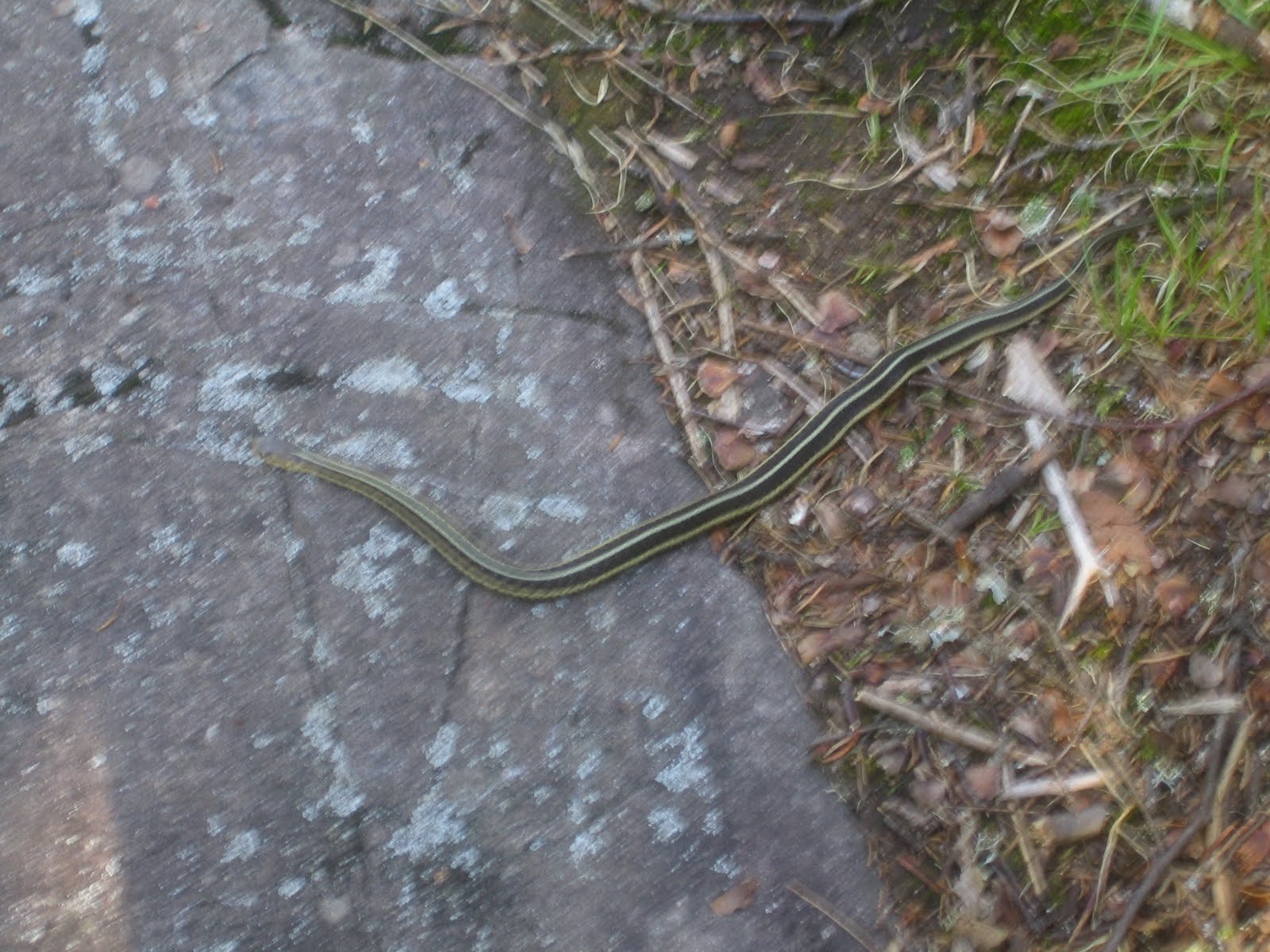
A little friend sunning himself early on a rock across the trail. This was the second green snake I had seen, the other was the very first day as soon as I got on the trail
More ridge walking early gave great views across the trees
The trail has been in very bad need of some lopping, but it started to actually disappear in places
This boardwalk and beaver pond was the first place I could get more water today, but I just couldn't reach the water without falling in, so I would have to wait for the next stop

lots of wildflower fields today
Across Christmas Tree Ridge I can see the way ahead
Kennedy Creek (beaver pond) was where I could finally reach the water and refill
The wildflowers around the pond were very nice
The trail now takes me into Split Rock State Park. I get a view of Split Rock Lighthouse from high up on the ridge.
Entering the park is the first "shelter" I have seen along the trail. I stopped here for a rest. It was at the top of the entrance to the park and you could see for miles. You could also hear the construction traffic on HWY 61. The "beep, beep" of the back up signal was a constant companion all day and night as they work 24 hours on the road.
Split Rock is a beautiful park and the trail goes up one side and down the other ( 5 miles up and back)
A bridge at the top of the park takes you across the river and over to the other side
I decided to cut the day short and stay at one of the campsites in the Park, I arrived at 1 pm. I laid everything out to dry and since it seemed I had the whole park to myself ( I had not seen anyone at all for almost 2 days) I decided to soak myself in the river and enjoy "nature"
After my soak in the river and drying everything out and redressing my feet, It was 2:30 pm. I felt so good I packed up and decided to press on to the next campsite. Another 4 miles away
One of the famous "split rocks" the park in named for (below)
The walk out of the park going from Split Rock toward Gooseberry Park was spectacular and I am glad I decided to do it. The temperature was fine and the mosquitoes had gone away with the ridge line breeze
Camping tonight was alone again at Blueberry Hill campsite.
So how long does it take to start hallucinating when you are hiking alone. I fell asleep about 9:30 pm and was awakened at 1 am by hearing a zipper open from a tent. I figured someone must have arrived late and was just slipping out of their tent to "answer the call of nature" and I would have company in the morning. In the morning there was not any sign that anyone else had been in camp that night!
Dinner tonight was mac and creme pesto (my own recipe)
Even though my feet are in pretty bad shape at this point ( see epilogue) it was a great day and I managed 15 miles and caught up with exactly where I was suppose to be at this point. I have just 18 miles left and 2 full days to finish it.
view from my tent as the sun sets, a beautiful night. The milky way and stars were spectacular when I got up later in the night

Summary:
15 miles in 8:30 hrs with at least 2 hrs worth of breaks

Superior Hiking Trail- Day 4- Tuesday July 13

Day 4 started out as good as it ended. I was up and out by 8 am. and had an additional 2 miles to reach Gooseberry State Park
Another nice bridge takes you over the Gooseberry River
Someone is serious about keeping everything out of their property
If Day 3 was the joy of the trip ( if you want to hike the SHT and only have a short time, do the Split Rock to Gooseberry section). Today Day 4 is the worst. This section started out great until leaving Goosberry State Park. As soon as you leave the main river section the trail in this section completely dissapears

The trail was so overgrown that I actually had to "hack" my way through the trail. Any section that was clear was a swamp you had to navigate around. This has to be a very popular section and I couldn't imagine why this section did not have better mantainence
There area actually 4 campsites along this section, it is obviously popular. It is also level and easy to walk, but I can't imagine why anyone would want to walk this section in its present condition
This is actually the trail ( below)
I managed to get out to the Gooseberry river for a rest and some more water
There were still some pretty flowers when you weren't trying to find the trail
 
Crow Creek Campsite was the stop for today. I arrived at 1:20 pm. This had to be my stop for today as there is no more campsites until my car. This is the last night in the woods and agian I have the whole woods to myself
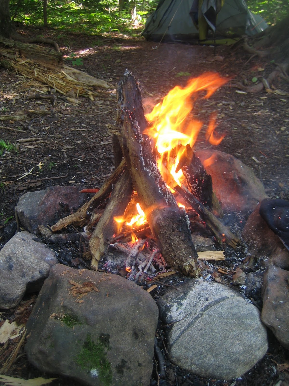
I am here early enough to get my feet dry make a nice camp and get a fire going to try and dry my socks and shoes for the last hike out tomorrow.
I did manage to make a good fire and keep it going from 3:30 to about 7 pm.
The smoke made pretty swirls between the trees in the late afternoon
I used wood for cooking as well tonight. My stove can use both alchohol or wood ( using the wood saves on having to carry the weight of the alchohol) and is of course more romantic for camping
It was a long and tiring day through the weeds and my feet are in bad shape ( see epilougue) but only 7.5 miles to go tomorrow to the car and out. I can't belive it is almost over.

Summary:
11 miles in 5 hrs 20 minutes

Superior Hilking Trail- Day 5- Wednesday July 14

It has been amazing to me the amount of people I have seen carrying huge packs. the college kids and the other hikers I have seen have been carrying 50 lbs with big heavy boots. They have been spending the same amount of time on the trail but only going a total of 18-24 miles compared to my 60.

Up and out by 7 am. Day 5 still has some crap trail until you reach the Castle Danger parking lot. It would be my advice to just avoid the Castle Danger to Gooseberry section. The short hike up to Wolf Rock is fine, but otherwise I would just avoid this section.

Up to Wolf Rock
The only view from Wolf Rock today is of the next storm coming in.
There is actually a sign pointing out the mass amount of poisin ivy on this slope...As alergic as I am to poison ivy I booked through this section and tried to not even breath.
The Encampment River section was actually some of the toughest climbing since the first day, all in the last 2 1/2 miles before the end.
Storm coming, again!

Before the storm arrived it got very dark very fast. The video below shows what it looked like at 9 am.
Oh my did it rain. I have never seen a storm with thunder as loud or lighting as close
Summary:
7.5 miles in 3 hrs.
Support Our National Parks - Preserve - Protect - Enjoy