In my defense, it was suppose to be cooler (high 80's), but I did somehow forget about the bugs and Missouri now has the new Tiger Mosquito that leaves a big welt when it bites.
Eric was smart and had better things come up so he couldn't make it, but Jeremy "RamenShamen" could and Bob brought his young nephew Garrett "Gman", who was a super companion.
As some might remember this was this hike that Brian "Hairbear" and I did last year (when it was cooler) but we only made it around to the road walk on Y and never did the southern 7 miles of trail. This was the biggest reason I thought of redoing this trail, along with it was close for the other guys as they are coming from Kansas City, Missouri/Kansas.
I got there before everyone and set up the hammock and just hung out.
Bob, Jeremy and Garrett arrived later and brought BBQ from KC- what a treat!We had a nice evening around the fire and the quarter moon and the stars later were excellent.
We started early the next morning (Saturday) this trail is very diverse. It starts in forest of pine and soft woods around the campsite and goes for about 1/2 mile. then breaks into the first of many pastures we will walk through over the next day and half.
There are several old homesteads that have long been abandoned but are marked for historic reasons. The wild Blackeyed Susan's have taken over around the ruins.
The trail then goes back into forest again along a creek bed
It comes out along a road (for the first longer road walk) by a horse camp. We stopped for a break(Garrett, Bob- from behind)
Selfie
I didn't look like this at the end as I lost 7 pounds in the heat by 10 am the next day
More wildflowers
Moving from road to forest
Wildflowers and trail walking
The trail heads down for its first of two meetings with its name sake Cedar Creek
more wildflowers
How much further till the end of the first day " Only 3 more miles" - the theme of this trip as the map for the area is so poor that you really can't make out any particular details you can only count grids and each one on the map is 1 mile, hence "3 more miles to go"
It did get so hot later in the afternoon we spied a well pump in a yard along the road, I had actually spoken to this very kind husband and wife last year because Brian and I were unsure of where we were suppose to be going on this road section because the maps are so poor, He had actually directed us and let us know he hadn't seen anyone actually backpacking this trail in years! We stopped and asked if we could pump some water out of his well and rest under his shade trees. They were very kind, and had a great dog "Buddy"
If we are so welcome in Missouri National Forest land, why does the official trail go on the road right next to the Forest Land? We did too long road walks on this section with National Forest Land on both sides of the road.
The trail had been very rough through this last couple of 3 miles sections! Road and then woods. the woods section hadn't been used at all and was overgrown and in one section by a dry creek, it was full of waist high stinging nettles. This was the longest, shortest day I have ever walked.
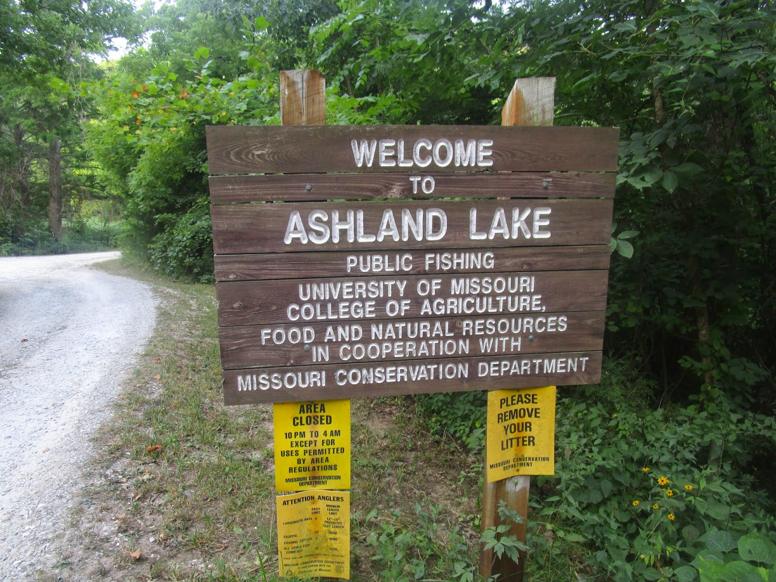
After about 14 miles we made it back to where Brian and I had reached Hwy Y and started our road walk back to the campground. We decided to try and find a place to swim at Ashland Lake, a small lake owned by the University of Missouri- Columbia and open to the public from 4 am to 10 pm and used for Nature and Agriculture research.
We really couldn't get to the lake proper just the boat ramp, so we decided to just find "stealth" places to hang for the night and call it a day. The mileage was only 14 but all of us felt like we had hiked 30 from the heat.
It was a very pretty night as we were tucked up the hill and hidden from the parking area. Not a cloud in the sky but no wind either so it was humid as we all just collapsed for a few hours and then stirred later to eat and chat.
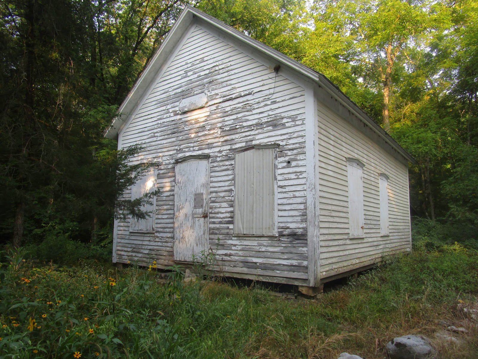
The next morning, with 7 miles left, we had another 3 MILE walk on the road to get back into the woods, again walking next too Missouri National Forest on both sides.... but the air was cooler and the road didn't reflect the heat of the day yet.Along the road we walked past lots of history in the form of an old school house and a few cemeteries.
The last of our road walk was across an old bridge crossing Cedar Creek for the second time.
Then it was back to the meadows and pastures for the rest of the day. I really enjoyed the meadows, even though the grass was high, the wildflowers were out and you could see a long way.
Each meadow and pasture seemed to be about 100 acres with a gate to enter and leave each
Meadow Pond (above) looking back across the last meadow (Below)
Bob and Garrett follow the faint and sometimes missing path through the fields. The map calls this a jeep trail, but there hasn't been a tractor or a hiker in here in a long time.
Most of the land is National Forest leased to ranchers for cows grassing or Hay growing.check out our bovine encounter at the end of the post.
fortunately after some route finding (not because of the terrain, but the map) the last field had been plowed and was easier walking.
The sun was up again and even at 10 am on a Sunday morning it was hot and humid in the exposed pastures
Through the gate and back into the woods to drop to a creek for the last time.
Missouri Trillium- fairly rare flower for Missouri growing alone by the last creek bed near the end of our hike
21 miles hiked 11 hours total
Animals seen or heard:
Owl, Deer, Turkey, Woodpecker, Black Snake, Cows, Hawks, Coyotes, Dogs, Cicadas, Butterflies, Grasshoppers and Mosquitoes!
Bovine Encounter:


No comments:
Post a Comment
Because of spammers, I moderate all messages. Your comments should be posted shortly- Thank you