The plan was to park at the Ozark Trailhead at Peck's ranch northern refuge point and then hike 6 miles north to Rocky Creek and Rocky Falls, check out the Falls and then decide if I wanted to hike further north or camp around that area. The next day hike south the 6 miles and then the additional 6 miles through Pecks Ranch (you can't camp inside the fenced refuge boundary). Sunday hike the 6 miles north back to the car.
Parking is easy at the trailhead and on a Friday morning I was the only one there.


It is a short walk north to get on the Ozark Trail from the parking lot and you can see all around the remains of the prescribed burn in 2017

Looking at one of Elk feeding plots along the trail. The whole area north of the refuge fence has been burned by the Conservation department to restore and promote growth in the area.

An example of the new growth right along the trail

Statement of intent by the Missouri Conservation Department

Hiking north you start to gain in some elevation and get some longer views

Hiking north you come shortly to Stegall mountain (1348') The Ozark Trail doesn't go directly to the top but it does top out at a glade with excellent views all around.

Passing over the glade (bald) you start down the backside, still in the heavily burned area. Below is a small bridge along the trail that didn't survive the burn.

The trail through the burn area is really evident as the only thing that did not burn.

Trail next to burned area

At the junction with the OT and Rocky Falls there is a nice sign post pointing you the 1/2 mile to the actually falls

A tricky little rock hop to get over to the Falls parking lot.

The Falls. In warmer weather I am sure this is a popular swimming area


There are benches, picnic tables and a toilet in park and even though it had only taken me 2.5 hours to come the 6 miles I stopped and enjoyed the view
The Mountain Laurel Design Prophet pack in wasabi color fabric

I had a bit of trail lunch at one of the picnic tables.
Tuna, cheese, hard salami on a tortilla- yum!


Easy to look down and see the bottom

I walked back to the trail junction and decided to head north just a little ways for the day. It had started to rain a bit and I didn't want to end up setting up in the full on rain as that was the forecast for later in the day.

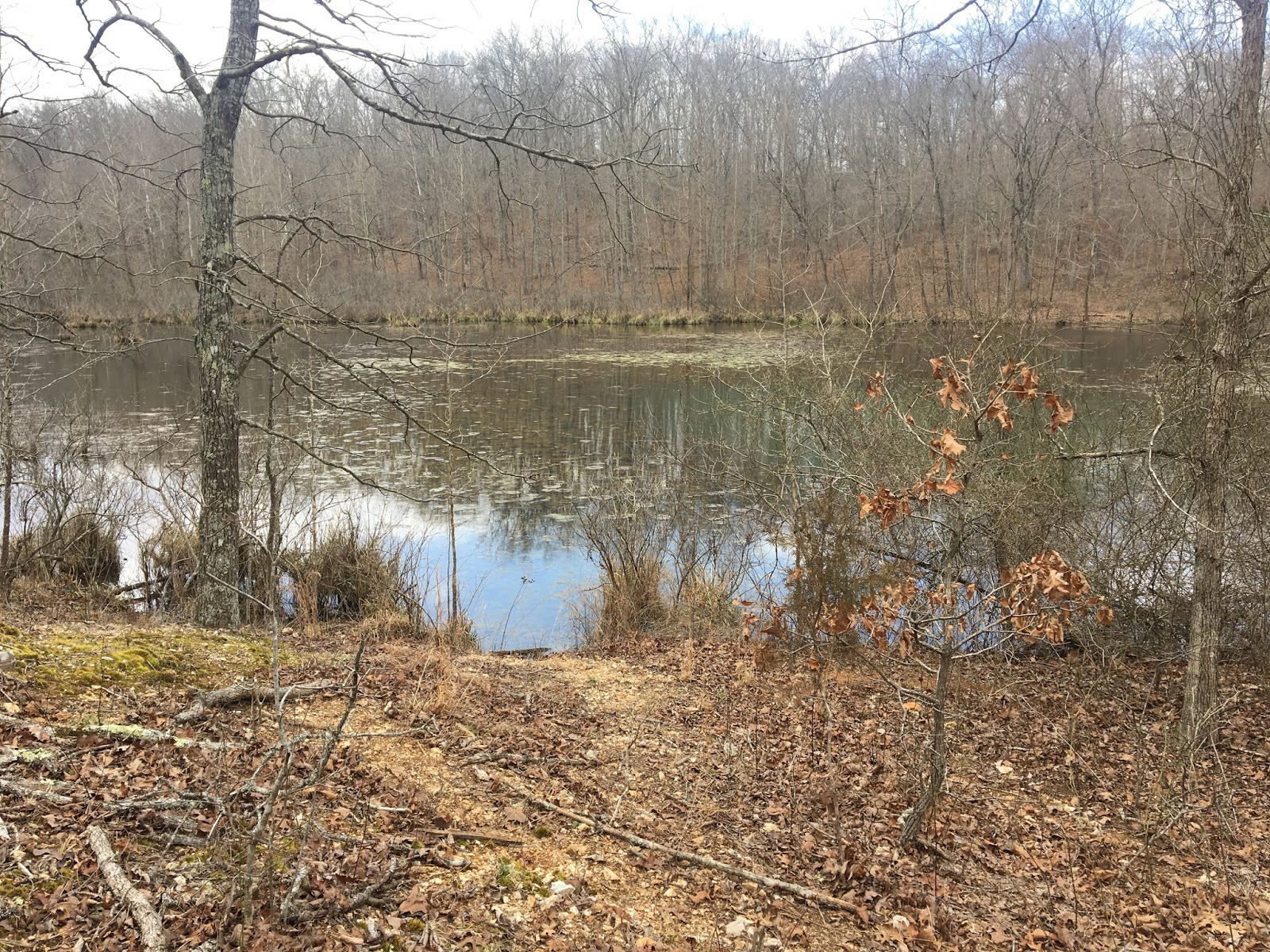
a quarter mile on Rocky Creek crosses the actual OT and that seemed like a nice place to camp with the slight sound of the water. It was forecast to rain all night, but all I got was a couple of sprinkles.

Later in the day, a group of Christian College kids, I found out later that the leaders bring a new set through this part of the trail every year, showed up going south bound and made for some entertainment as they tried crossing the creek with enormous packs

My dinner for tonight expired in March of 2017! It tasted ok with a few things mixed in ! :-)

Day two dawned and I was not really that motivated to get up out of the comfortable hammock, but got going just before 8 am. Packed up leaving no trace, which would become a theme for the morning. At this point I am turning around and heading south back the way I came.

I noticed a lot more trash on the way back south, so it was clean up day, as I picked up all the trash I came across.

more bad beer trash

A much more pronounced look at the difference between the trail color and the surrounding burn area


Hiking back south I actually came across an actively smoldering log. I was amazed the wind could start the embers burning again after so many months of rain and snow since the burn.

There was not really any more fuel in the surrounding area to ignite if this got fully burning again but I didn't want to take any chances with no one around to watch it, so I took a liter of water I was carrying and put it completely out.

At the top of Stegall Mountain glade there is an unmarked forest road that leads up to the top of Stegall Mountain. I had intended to take it yesterday, but had walked past it. This morning I headed up the road. It was a surprising flat and well graded path as it follows the ridge line from the glad to the top.


At the top I found another smoldering log that had been kicked up by the wind. I had gotten more water at the pond along the forest road, so I put this log out as well.

At the top was the fire tower. climbing to the top was a must

It was very windy so no panorama shots as I was holding on, but I did manage several shots in all directions. the weather was becoming more unsettled


looking up the firetower steps


I think you can see this was a controlled burn as the fire line comes right up to the fire tower and then stops


Getting back to the refuge fence and starting south through the ranch there are notices posted for a turkey hunt in the next couple of weeks starting in April.

The trail going south is another world from the one I just left across the road. There is no burn area here and the trail looks like it has not been maintained for years. You can barely make out the trail under the duff and only by looking for cut logs and the occasional trail marker can you find your way.

The only really "hidden" Elk pasture during this section was field 22 and it was empty of any Elk when I passed by.

The trail was a mess of blow down and even when you got some clear trail it was overgrown with vines and thorny bushes.

more trail blocked with blow downs and really hard to find

A gall in a tree. Native Americans used these as natural bowls


Another Elk field in the distance with a small animal pond (above) right next to it was marked as the only water source for the remainder of the day. I stopped to fill up my dirty water bladder with the "Elk snot" water, but decided not to filter it just yet in hopes of finding something a bit more appetizing before I actually needed more water.

A larger pond further on, but no more appealing.
I can see evidence of Elk, but haven't seen any yet.

A found a nice flowing little creek, so I dump my "Elk snot" water and filled up with the clear creek water for tonight

The trail completely disappears just before one of the Elk viewing roads that dissect the park.
I could see the road from the last of the trail, so I just bushwacked down to the road (which did happen to be part of the trail as I found a marker or two while I walked the road)

I made it to the southern refuge fence about 2:30 pm and while there is a sign post and a bit of a campsite with old fire ring just outside the fence, the trail seemed to completely disappear at this point in a tangle of down trees and I could not find any trail markers or other remnants of the trail leading further south. Being this was the area I intended to end up I simply climbed the hill to a high point and set up my hammock for the day.


The sun did finally come out although the wind stayed very strong (30-40 mph gusts) the temperature did get to about 75 degrees

Panorama of my little spot in the woods

Sunday morning started out cold. It had been 75 degrees yesterday, but waking up to 35 degrees this morning. The sky looked unsettled again, but not with any immediate threat of rain.

I decided last night, due to the poor condition of the trail that I would just walk the Elk viewing roads back to the car and perhaps see some Elk early this morning.

I did actually see a lone elk this morning in the field just after getting started. He bolted before I got close enough to take a photo, but I can verify there is at least one elk in the park!

Walking the roads did actually pass by more places that you might actually see elk, but also they were a bit of a roller coaster following the ridge lines of the area, up and down giving a good workout for the morning.
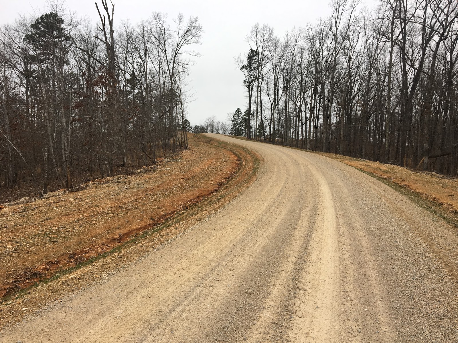
I would actually recommend bypassing the Ozark Trail through the refuge section until such time as the trail gets some maintenance. The road takes half as much time and the roads are quiet and easy to walk. In 2.5 hours I was back at the car.

Even at 9:30 am it was time for the celebratory beer and then the 3.5 hour drive back home.

I really enjoyed this weekend out and alone. I am really not sure why the section through the refuge section of Peck's ranch was in such bad shape. I suspect that the Ozark Trail Association (OTA) is not in charge of this section and it might fall only to the Missouri Department of Conservation, who is one of the best Conservation Departments in the country, and manages Peck's Ranch, but either way it not at all what I have come to expect for the level of quality that you find the Ozark Trail, which we can brag is one of the best maintained trails in the US.
Animals heard or seen:
1- Elk
1- Screech Owl
4- Deer
Very nice! Too bad about the trail condition. Hopefully they get it fixed up soon.
ReplyDeleteNice narrative and pictures! Being alone, sometimes, is not so bad! Happy that your hike was a success, but to bad you didn't get to see any elk.
ReplyDelete