Both Andy and I were up early this morning. I managed to talk the staff into letting me have breakfast at 7:30 am again, about a half hour before their normal serving time of 8 am, if I pre-ordered the night before. I had ordered pancakes and scrambled eggs. Andy, being the well organized and well planned person that he is- NOT, thought he might be able to talk them into letting him order early when I went down for my breakfast- NOT! 😁, but fear not, I was happy to split my breakfast with him, although I think they made the pancakes last night so maybe not the best ordering choice, as I might have taken them to use as tent pegs.... The eggs and coffee where excellent and I had sent myself a huge resupply box to the hotel, so I was full up with food for the rest of the walk. There are no more grocery stores on the remaining 4 days of my Challenge. This hotel is really very fine and I recommend it highly. After checking out, I was headed straight up the hill behind the hotel. Andy was off to try some crazy route up a hill he had never tried before and wasn't quite sure if it was even possible.... sounds perfect mate! We would both, hopefully, end up in Tarfside tonight. We had made a promise that whomever arrives first, nicks two rooms at St Drosten's. Are we turning into softies? - NOT.
Looking back you can see the Clova Hotel as I ascend, rather steeply, up the hill. The clouds are already obscuring the hills above.
Dear Reader, please don't comment that I am going up above 750 meters again today, in search of views. We have already established that I am not going to change my behavior regardless of the evidence, so there is no need to beat that dead horse! 😏
My original destination was 'The Snub' around Loch Brandy. Approaching Loch Brandy, I can see it (picture below) covered in clouds this morning (remember no comments!) So I decided to take the alternate route up the other side as it looked to still be clear and I might still get a good look at Loch Brandy. My original route is in Blue and my actual route, tracked on my Garmin watch is in Red
This route was not as steep, but a bit longer and had some exposed peat bogs, fortunately, even give the rain, these were dry enough to easily walk on.
Gaining the top of the ridge across from 'The Snub'
Just as I am almost to the top, the clouds roll in But then the roll out just as quickly
In just a matter of a few minutes the clouds seem to find a ceiling just above my position... Karma?
Showing a very nice view of Loch Brandy and 'The Snub' ridge.
The Cairn on top of Green Hill (870 meters) 2854 feet. Turning East and looking ahead.
The clouds seem to rise just above my level of walking as I move east on the ridge. There is really not much of a path here. You can see on the map that this is just a single line on an OS map, and remember what that means! This ridgeline does bounce up and down quite a bit. It is not really level walking, more like dipping down and then coming back up.
(Below- dipping down)
(below,Going back up) Nothing drastic, just a bit of a roller coaster. It is lovely up here.
As you reach 850 meters exactly, there is an electric fence. There is really no path here, but why would there be a stile to allow you access over if you were not suppose to take it?
This was a good decision. You can get to your destination on either side of the fence, but crossing over keeps you high and away from dropping down into two muddy burns (creek beds) you can see on the map along my original route in Blue.
The Red line keeps you higher up and it is a much easier and dryer walk. You cross back over the electric fence at the second stile and can still climb up to the top of Muckle Cairn from here, before continuing on the original side of the fence East.
Continuing on
Between Wester Skuiley and Skuiley I had decided before today to not lose all the elevation I had gained, by taking my original route in Blue. I would go purely cross country over to Burnt Hill, staying at around 650 meters. (in Red) Starting my cross country detour with Mt Keen straight ahead in the distance.
Wanting to follow the same altitude as much as possible to avoid a lot of ups and downs, you can see on the map above that I came pretty close.
Still a fair bit of bogs that had to be navigated. No dry feet here. It was a really fun little section to do.
Getting up to the top of Burnt Hill you regain a really defined track. I sat at the top of Burnt Hill and had lunch.
Lovely to look around at lunch time (photos above and below)It is an easy walk now going over to Cairn Caidloch.
(Below a panorama, just before Cairn Caidloch) Looking back to Burnt Hill and my day so far.
Trig point at Cairn Caidloch. Mt Keen, to the right, in the distance.
I spent a good amount of time on top of Cairn Caidloch taking photos and just soaking in the views, I didn't notice the storm, that was brewing, sneak up on me.
Now it was a race to get down the hill before the worst of the storm came over the top I was standing on! I got far enough down the hill, that just a bit of rain got me as I neared the bottom. You can see the Hill of Rowan Monument, through the rain shower, in the distance.It was down through a farmers complex and by his house and across the road to the path up to the Hill of Rowan.
First lamb that didn't run away when I got my phone out. Past the Hill of Rowan and down the other side into Tarfside.
St Drostan's Church, Tarfside
The Challenge takes over the rectory, every year, during the Challenge. When you arrive at St Drostan's the great Challenge volunteers are there to supply coffee, tea, bacon buddies, and most importantly homemade cakes!
Challenger's gather in the living room and it is great time to socialize and catch up.
This is my third time to Tarfside. This year, for the first time, I also snagged a bed, and to follow up on my deal with Mr. Walker, the plan was to tell him that I got the last bed and he would have to set up his tent in the soccer field, as most Challengers do. Mad n' Bad arrived just minutes after I did, so the joke was pretty good for a few moments!
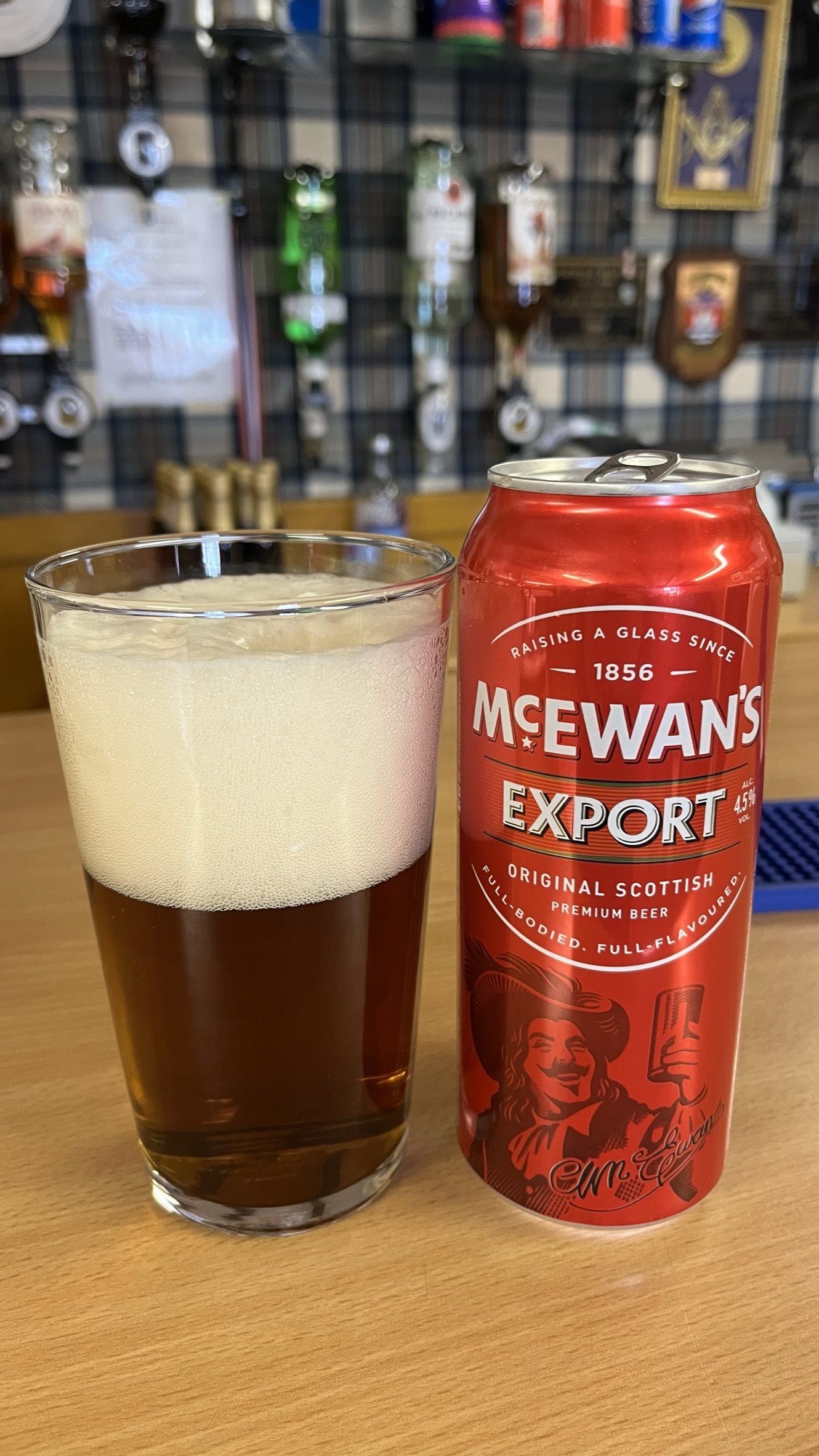
I got St Peter's room. I tried to be on my best behavior.Another bit of magic for this trip was the Mason Arms decided to open tonight. The local masonic lodge in town has been open each year for the Challenge serving a full bar and hamburgers, but over the past couple of years of COVID and most nights during this Challenge, they have not been open, but tonight was back to old times.
Sitting outside drinking a beer and having a cheeseburger or two, made on the outside grille, socializing with other challengers, is the proper way to spend the late afternoon in Tarfside and really this is what Tarfside is about. Tarfside traditionally marks the end of the hills with just a day and half walk to the North Sea and your finish point.
However, sitting outside the Mason Arms drinking my second beer, I reminded myself, I still have 3 or (2 1/2) days to go. Those days also contain hills, so I drank another beer.
Special thanks to the Mason Arms for opening and providing me with yet another great memory for this year and the Challenge Staff at St Drostan's
Ann and Alvar Thorn, Rita and Gus McKinnon
Today's Stats:

It was a very good day


No comments:
Post a Comment
Because of spammers, I moderate all messages. Your comments should be posted shortly- Thank you